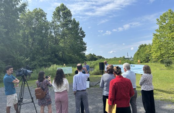
The Highlands Trail co-aligns with the Saucon Rail Trail for it’s entire 7.5 mile length. The trail was developed on the former Bethlehem-Philadelphia Rail Line by a multi-municipal partnership consisting of Coopersburg Borough and Upper Saucon Township in Lehigh County and Hellertown Borough and Lower Saucon Township in Northampton County.
Saucon Rail Trail
Highlands Trail Route
From the north, the trail begins in Hellertown Borough at Water Street Park and heads south through Hellertown and Lower Saucon Township in Northampton County and in Lehigh County, Upper Saucon Township and Coopersburg.
Facts
The trail is surfaced with crushed stone.
Average Slope: 1.3%; Maximum Slope: 11.6%
The Saucon Rail Trail Oversight Commission (SRTOC) oversees and manages the trail, in partnership with the four member municipalities. The SRTOC meets monthly to manage the operation of the trail, which was established under a thirty-year lease agreement with SEPTA.
Trail Planning
Trail feasiblity studies and plans that have been developed for this section of the Highlands Trail are listed below.
Access Points
The Saucon Rail Trail can be accessed at the following trailheads:
- Water Street Park, Hellertown
- Wagner-Knecht Grist Mill Park, Hellertown
- Saucon Street, Hellertown (no parking at this location)
- Reading Drive, Lower Saucon Township
- Washington Lane, Upper Saucon Township (no parking)
- Upper Saucon Township Community Park, Upper Saucon Township
- Station Avenue, Upper Saucon Township
- Southern Lehigh Living Memorial Park (Landis Street), Upper Saucon Township
- Keewayden Street Trailhead (south side of E. Station Avenue)
Nearby Destinations
- Hellertown Borough
- Coopersburg Borough
- City of Bethlehem
- Saucon Park, Bethlehem
- Water Street Park, Hellertown
- Upper Saucon Community Park
- Southern Lehigh Living Memorial Park, Upper Saucon Township


0